Cloud types & what they indicate
Cloud needs all three (FAA PHAK line 14589):
- Water vapour
- Cooling to saturation
- Condensation nuclei (dust, salt, smoke): vapour condenses on them
Name encodes formation and weather:
| Name part | Means | Weather / note |
|---|---|---|
| cumulo- / cumulus | heaped by rising air (convection) | bumps, showers, clear gaps between heaps |
| strato- / stratus | flat layers | smooth ride, steady rain or drizzle, often poor visibility |
| nimbo- / -nimbus | carries rain | nimbostratus: steady rain; cumulonimbus: showers, thunderstorms |
| cirro- / cirrus | high | made of ice crystals |
| alto- | middle level | - |
| castellanus | castle-like turrets on a common base | shape, not a new étage (FAA PHAK ch.12) |
| fracto- | ragged, broken | - |
- ACC = altocumulus castellanus: forecast contraction for its turreted form (TC AIM MET Table 15.1).
| Étage | Prefix | Genera | Made of | Base height above surface (temperate, AWH Table 12-3) |
|---|---|---|---|---|
| High | cirro- | Ci, Cs, Cc | ice crystals | 16,500–40,000 ft |
| Middle | alto- | As, Ac, Ns | water / ice | 6,500–23,000 ft |
| Low | (strato-) | St, Sc | water | surface–6,500 ft |
| Vertical | cumulo- | Cu, TCU, Cb | water, ice on top | bases in low/middle, tops into high |

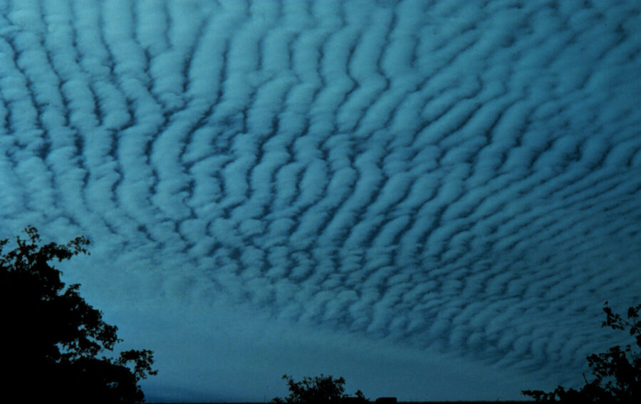





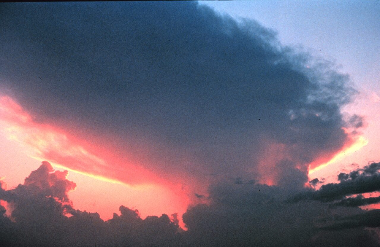
Photos: NOAA, public domain, except nimbostratus (Onowhitu89, CC BY 4.0) and altostratus (W. carter, CC0), via Wikimedia Commons.
| Cloud | Key facts | Cite |
|---|---|---|
| Cb (cumulonimbus) | Thunderstorm cloud; nearly every flying hazard: extreme turbulence, icing, hail, lightning. Downbursts below bring wind shear | FAA AWH A.3.4; downbursts: FAA AWH ch.22 |
| Ns (nimbostratus) | Steady, non-stop rain, snow, or ice pellets. Stratus has at most weak precipitation | AWH A.3.3; TP 13014 sample exam Q52, key 52-(4) |
| Stratus = fog | Same cloud, named by position: seen from below, a layer on a mountaintop is stratus; an observer inside it reports fog. Fog lifts into stratus as wind increases or temperature rises | AWH 18.2.1; lift: AWH A.3.3 |
| Stratus over land | Lowest at night and early morning, lifts by afternoon | AWH 18.2.1 |
Trap: cumulo = heaped, showery; strato = layered, steady. Alto = middle, not "high". Nimbo = rain, not a level.
References
- TC AIM MET
- FAA Aviation Weather Handbook (FAA-H-8083-28)
- AWH Table 12-3 (cloud base heights, temperate), A.3.3 (stratus vs nimbostratus precipitation), 18.2.1 (fog/stratus naming, stratus diurnal cycle)
- FAA PHAK ch.12 (castellanus)
- TP 13014 sample exam Q52 (key 52-(4))