Frontal weather (cold, warm, stationary)
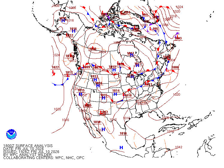
A front is a narrow transition zone between two air masses, one warm, one cold (TC AIM MET 10.0).
- Forms where air masses of differing temperature and moisture meet (TC AIM MET 10.0).
- Slope of the boundary sets the weather:
- Steep: air forced up fast over short distance. Narrow, rough, showery.
- Shallow: air lifted gently over long distance. Wide, steady.
- Temperature changes sharply across the boundary, most on the cold-air side (FAA AWH).
- Clouds and precipitation usually encountered along all active fronts (TC AIM MET 10.0).
- Winds usually converge at fronts (FAA AWH 11.3).
| Cold front | Warm front | |
|---|---|---|
| Slope / speed | steep, fast | shallow, slow |
| Side-on | steep wedge shoving under warm air | long ramp sliding up over cold air; cloud thickens and lowers slowly |
| Width of weather | narrow band | wide band |
| Cloud | cumuliform (Cu, Cb) | lowering layered cloud |
| Precipitation | brief heavy showers, thunderstorms | steady, continuous, well ahead |
| Visibility | good, except in showers | poor in cloud and precipitation |
| After passage | clears quickly | low cloud lingers |
- Wind veers (shifts clockwise) as either kind of front passes (FAA AWH). Wind change alone cannot distinguish them; use cloud, rain, temperature.
- Overrunning: warm air rides up over cold air. Clouds form as the warm air cools while rising and expanding (TC sample exam Q53; FAA AWH frontal lift).
- Stationary front: air masses push with roughly equal force; boundary stalls over one area for days. Mix of warm- and cold-front weather (PHAK ch.12).
Trap: cold versus warm is the exam's core confusion. Anchor on slope (steep cold, shallow warm) and cloud (heaped cold, lowering layered warm).
References
- TC AIM MET
- FAA Aviation Weather Handbook (FAA-H-8083-28)
- PHAK ch.12 (FAA-H-8083-25)